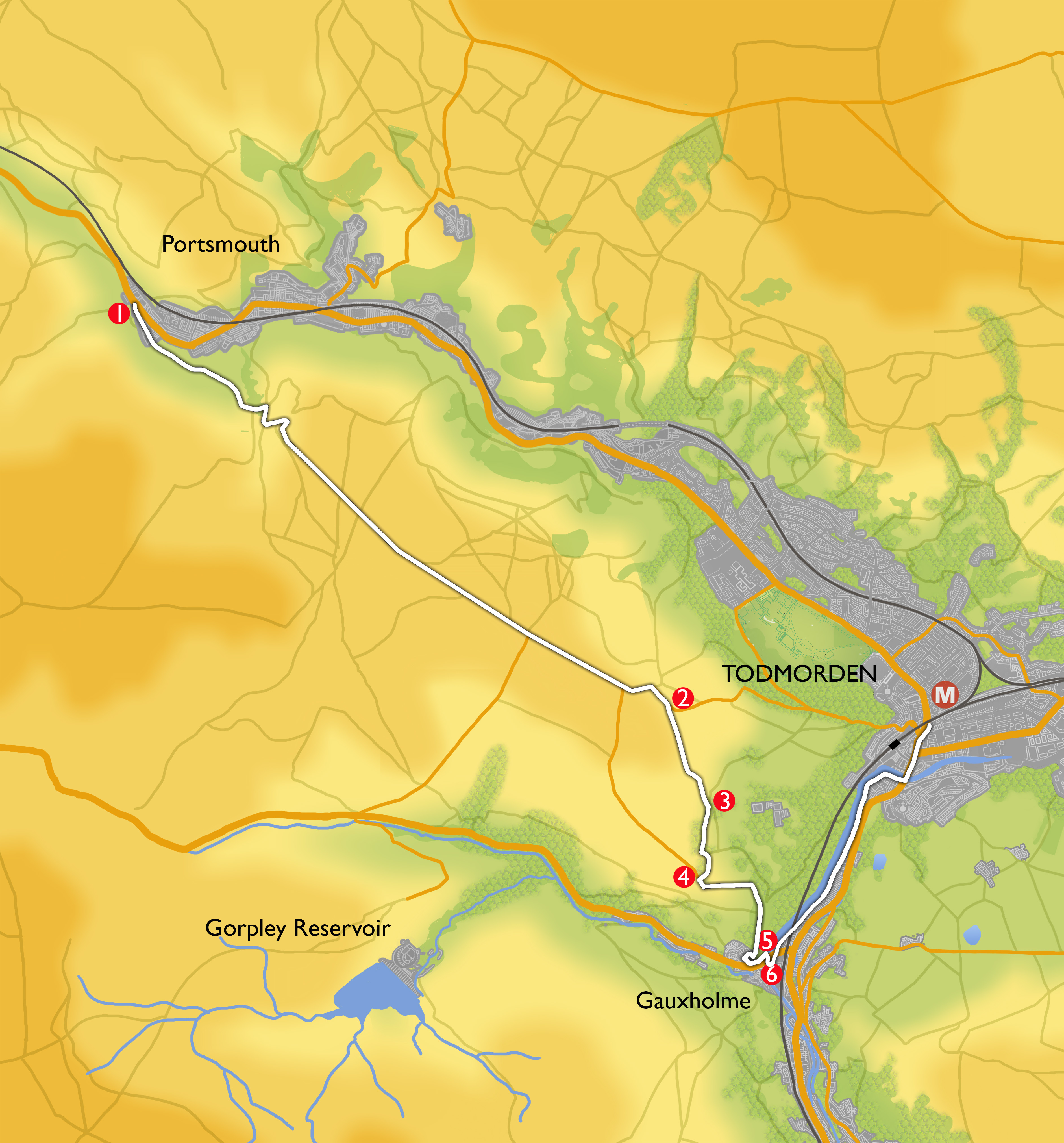
Main features of the walk
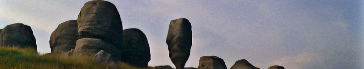
This walk has far-reaching lovely views across open moors from Lancashire to Yorkshire, taking in Pendle Hill, the Calder valleys and Stoodley Pike. There is a possible detour along the Todmorden Geology Trail.
Length and Time
It’s about 7 km (4.5 miles) and should take you about 2.5 hours.
Gradient
Ascent: 203m Descent: 289m
The start involves a steady climb and there is a steeper descent back down to the valley
Terrain
Most of this walk is on smooth single track roads , with wide grassy paths and an uneven stone path leading down to the valley.
Obstacles
There are a few stiles, gates and steps. Grassy paths can be muddy after rain.
Facilities
None on the walk.
What to take
You need a good pair of walking shoes. A wind proof top would be handy.
Description
Take the 589 or 592 bus to Burnley. Ask for the Burnley Road Portsmouth stop.
-
 Walk on in the same direction until you reach Carr Road on your left. Take this road – it is quiet but be alert to traffic. Stay on Carr Road as you climb out of the valley – you will continue along the road for just over 3km (2 miles). Carr Road becomes Tower Causeway as the road begins to level off. Here, there are wonderful views in all directions. As you go downhill you pass on your right the beginning of the Todmorden Geology Trail with its interpretation board. Continue on what is now called Flower Scar Road to reach the small settlement of Sourhall. Go over the cattle grid, and continue ahead up the road with Sourhall Court on your right. The road curves first to the left and then to the right, becoming Parkin Lane.
 -
As you come to a drive on your left with the sign Todmorden Edge South, look for the waymarked path (Calderdale Way) up the bank to your right. Follow the path through two fields, keeping close to the wall on your right. In the third field, where the wall bends away to the right, bear left downhill across the field to the stile in the corner, by an iron gate. (All these gateways can be muddy in wet weather)
-
Cross and follow the track. Dobroyd Castle (now an outdoor centre) can be seen on your left and you pass the Model Farm. When you reach a lane, cross it and go through the gate to the left of the house in front of you. There is a Dobroyd Estate notice at the gate which gives you permission to cross the courtyard in front of the house to access a track which leads you to a T junction with a wider lane.
-
Turn left and follow the lane to the point where it bends right and straight ahead there is a path between stone walls (and white and black posts). Take this path, which becomes rougher as it descends down into the valley, emerging onto a road (Pexwood Road).
-
Turn right down Pexwood Road and cross the main road (Bacup Road) to access the canal towpath. With the canal on your left, walk towards Todmorden, under the Gauxholme Bridge and past the Great Wall of Todmorden for 1000m to reach the town centre.