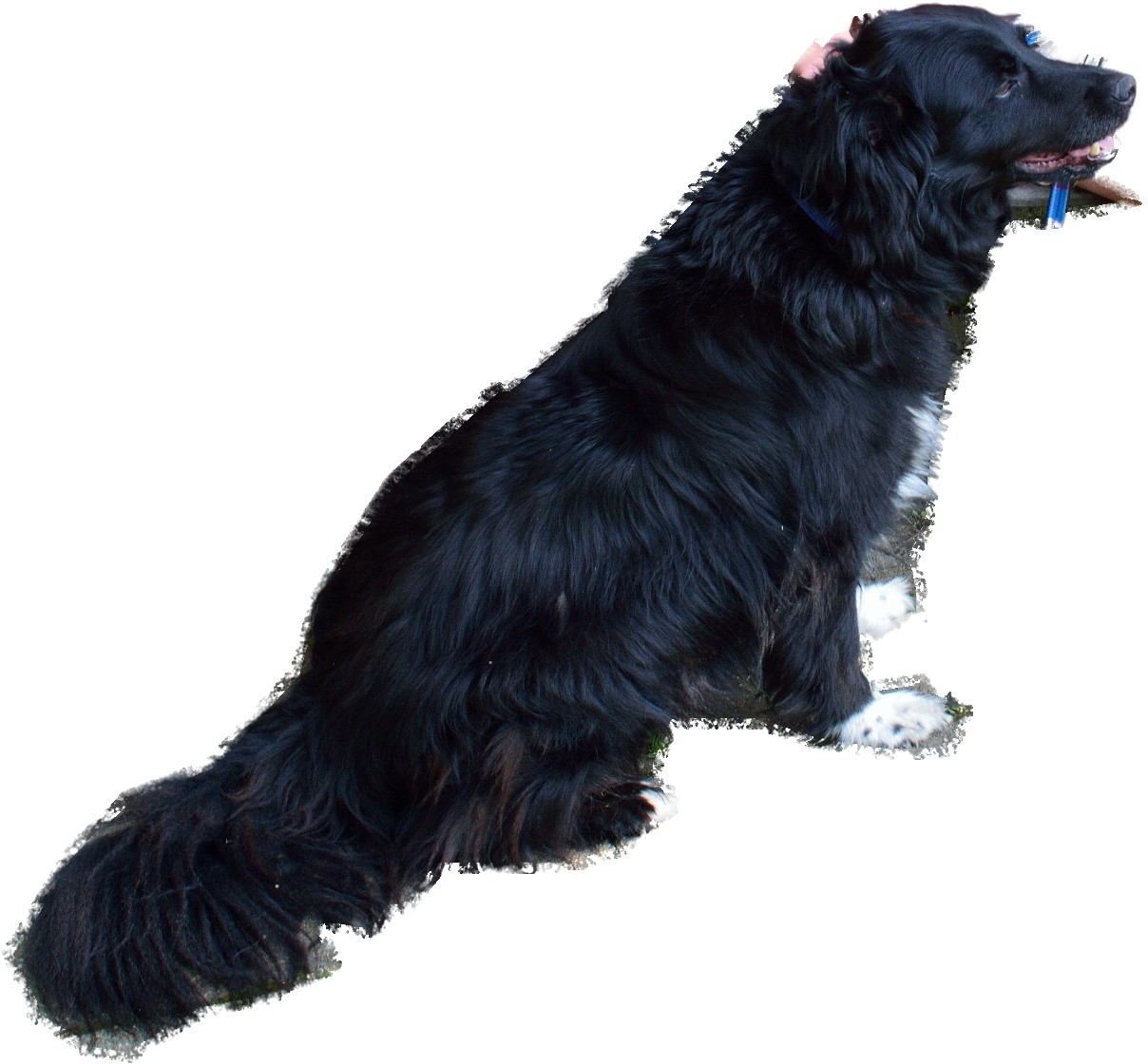

Main features of the Milo walk (named after the dog who loved this walk: his image is one of the slideshow above)
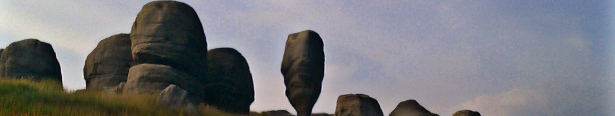
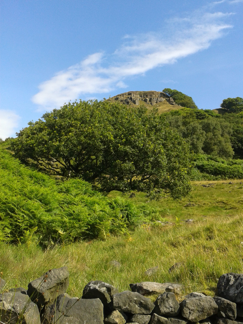
A challenging walk that criss-crosses the narrow reaches of the Upper Calder Valley, with steep ascents and descents on both sides of the valley. There are packhorse trails, high open moorland, deep valleys, wind turbines, a reservoir perimeter and a coniferous plantations. This walk could be split into 3 sections.
Length of walk and time
11km (7miles) 5 hours
Gradient
Ascent: 614m Descent: 608m
Several climbs and descents, some steep.
Terrain
Mainly clear paths and tracks, some less distinct
Obstacles
Gates and stiles
Facilities
You pass close to facilities as you cross and re-cross the main road on valley floor, but take water and a snack too
What to wear/take.
Sturdy footwear and warm clothing for the tops.
Description
Take the 589 or 592 Burnley bus. Alight in Cornholme village at the Glen View stop, just after St Michael’s Church on the left.
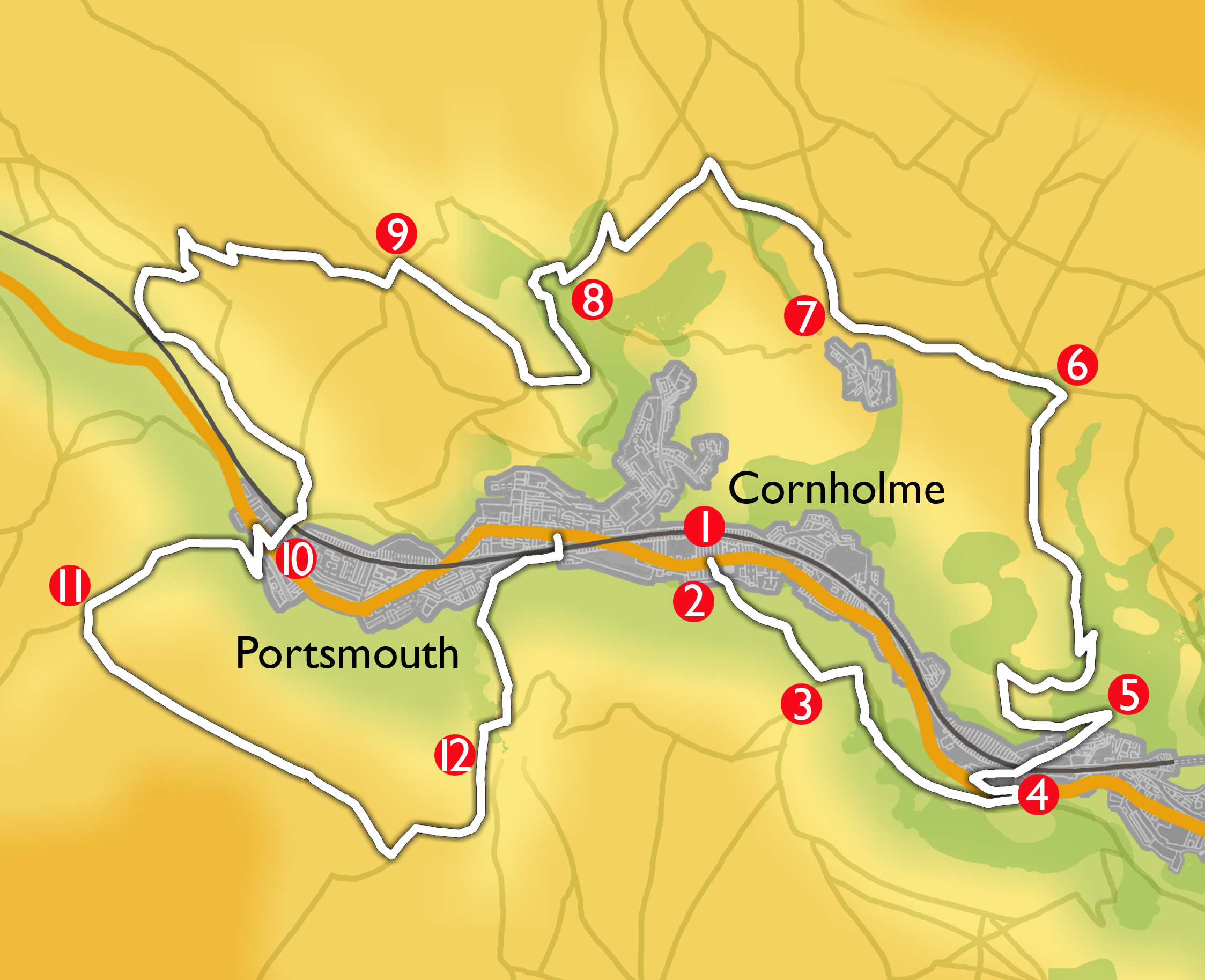
- Walk back towards the church and turn into the alley on the right, with the church tower of St Michael’s on your left and the back of Roseberry Street on your right.
- At the end of the street, turn left at the waymark up a footpath heading for the hillside. Bear right up wooden steps and cross a stile onto a grassy path ascending the hillside to the left. Pass a waymark post, then the foundations of an old farm on your right. Carry on up the hillside passing another waymark post and crossing a stream and a broken stone wall on the way up.
- Near the brow of the hill after crossing a larger stream, follow the wide and well trodden path (an old pack horse route) down to the left. Continue, ignoring a footpath on your left by a waymark post, crossing more streams and heading for the River Calder in the bottom of the valley. There are good views of Cornholme and of Knotts Naze and the railway opposite, as well as down the valley towards Todmorden, and Stoodley Pike in the distance. The track narrows and becomes rocky and passes through some trees. Go through a small wooden gate and join a broad track, turning left to reach Burnley Road, and crossing the River Calder over a stone bridge.
- Turn left, and cross Burnley Road with care then walk back uphill to take the first right turn into Knotts Road. (The car park for the Staff of Life public house is on the left, and you could go through it to make a detour to the characterful pub with its historic stone interior). Follow the road across the railway bridge and continue past a number of old cottages. When the metalled road runs out follow the track to reach an old car port ahead .
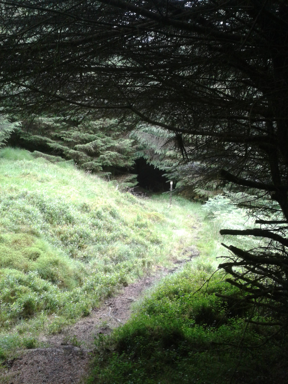
- Turn sharp left and follow a well trodden track through the trees and a gate with a waymark onto open land. The track has a wall on your left, then on your right, before crossing open rocky grassland. This is a packhorse trail which leads gradually upwards, with the slope of the hill (Knotts Naze) initially on your right. At the point where the path does a U-turn to your right, ignore all smaller paths leading off it and head uphill away from Cornholme village, contouring round the hill which now rises on your left. Hudson Clough is way below you on the right. Follow this well defined but winding route, still climbing gently, up onto the open hillside. Head toward a telecommunications mast on the track, passing over a stile. Pass the mast and head for the farm (Hartley Royd). Cross a cattle grid, follow the track through the farmyard, then turn sharp left onto a roughly surfaced track enclosed by stone walls (Bluebell Lane)
- Follow Bluebell Lane passing conifer woodland on your left, then Coppy Stone Barn, Ridge Gate Farm and Bluebell Farm. The concrete track bears right passing Bluebell Cottages on your left and continues, becoming a tarmac road (Pudding Lane). Head downhill along the road to the edge of the settlement of Shore and as the road bears left, turn right on the track signed Public Bridleway.
-
Follow the track past a house with an arched window in the gable end on your left and continue for 500m until you reach a wooden stile on the left just before a gateway across the track . Cross the stile into boggy terrain, turn sharp left back along the fenceline for 35m then turn right down a wide grassy track to Rough Hey Farm. Follow the footpath, veering to the right over a boggy patch of ground then round the back of the farmhouse between the buildings. Go through two gates, then zig zag downhill past a bench in a lovely spot for a picnic, on the grassy path to Back Rough Farm. Cross a stile just before the farmhouse then exit onto a track.
-
Here you have the option to turn left and follow Pudsey Road which leads back to Cornholme and buses to Todmorden.
To continue with the circular walk, turn right onto the track then take the left fork onto a track which bears left. Cross a bridge over Pudsey Clough and ascend the hillside through the trees. As the track reaches open ground, bear right and carry on along the track uphill to pass between two homesteads, and bear right behind the one on your right. Continue on the path heading upwards onto the moors. Follow the track until you reach a gate where another track bears left through a gap in the hillside on your left.
-
Turn left here and follow the path bearing right with ruined buildings down to your left. The path leads round the hillside passing a small pond, then downhill bearing right on grassy tracks to a wider track which comes in from your right. Turn left, and follow the track down to Dean Farm, passing through a wooden gate onto a farm track. Turn right down the track, away from the farm buildings towards the reservoir. Keeping the reservoir on your left, follow the track past the railway bridge on your right to a large metal gate just beyond the reservoir. Go through the gate and bear left to pick up a path across fields heading to the left of a small group of industrial buildings on the edge of Portsmouth. Cross the stile and pass through the industrial site. Turn right by the allotments, along the road to a level crossing and cross the railway with care. Walk down Station Parade with a terrace of houses on your left, to Burnley Road, Portsmouth. Here you can either get a bus back to Todmorden by turning left or continue the walk.
-
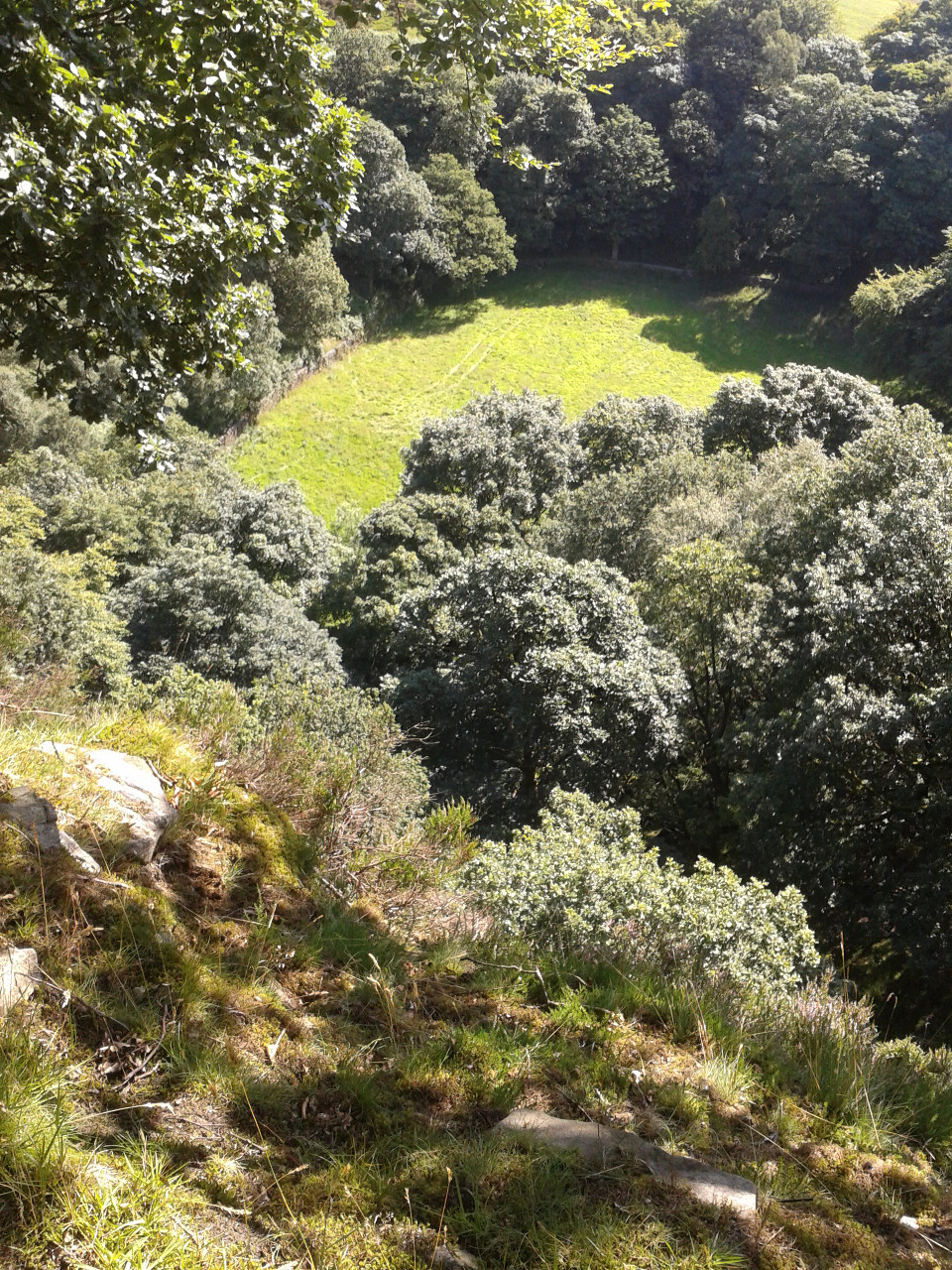
To continue the walk, turn right to the Roebuck Inn then cross the Burnley Road to pick up the path opposite the pub signposted ‘Bacup Road 2 miles’. Pass through a large wooden gate and walk uphill into the woods. Follow the track, turning sharp right, continuing steeply uphill out of the woods. Follow the bank of the deep clough on your right (there are waterfalls way below you) onto the open hillside, until you reach a substantial disused quarry on the left with an electricity pylon above.
- Turn left into the quarry and follow the path round to the left up a short but steep grassy bank. At the top of the quarry head for the stile on the edge of a conifer wood. Cross the stile and follow the way-marked path, with the stone wall on your right. This leads you round the edge of, then into, the woods. The path then enters an open ride in the forest and after a while becomes a rough track. Watch out for mountain bikers where marked bike trails cross the main track. Pass mountain biking shelters on your left and right as the track runs steeply downhill via several left hand bends. Cross a stile beside a locked wooden gate and continue on the track, now in more open country.
- At a signpost follow the yellow way-marked grassy path to the right, climbing over a stile and joining a tarmac road. Turn right along a short stretch of road and head for a derelict barn. Turn left at the barn and follow the footpath through a small wooden gate with Bearnshaw Tower Farm on your left. Follow this path downhill across open fields till you reach another stile. Cross and follow the rough track downhill past a corrugated iron fence on your left to Frost Holme Terrace on your right. Bear left here to join Burnley Road in Cornholme. Cross the main road with care and turn left for a bus stop with a shelter.